Tracks and Trails
Council is in a staged process of developing a network of tracks and trails throughout our Municipality, subject to funding allocations. It is hoped that these tracks and trails foster and engage our community into greater recreational pursuits, an enhanced understanding of our cultural, historical and environmental values and builds awareness of the true enriching experiences available in our Municipality.
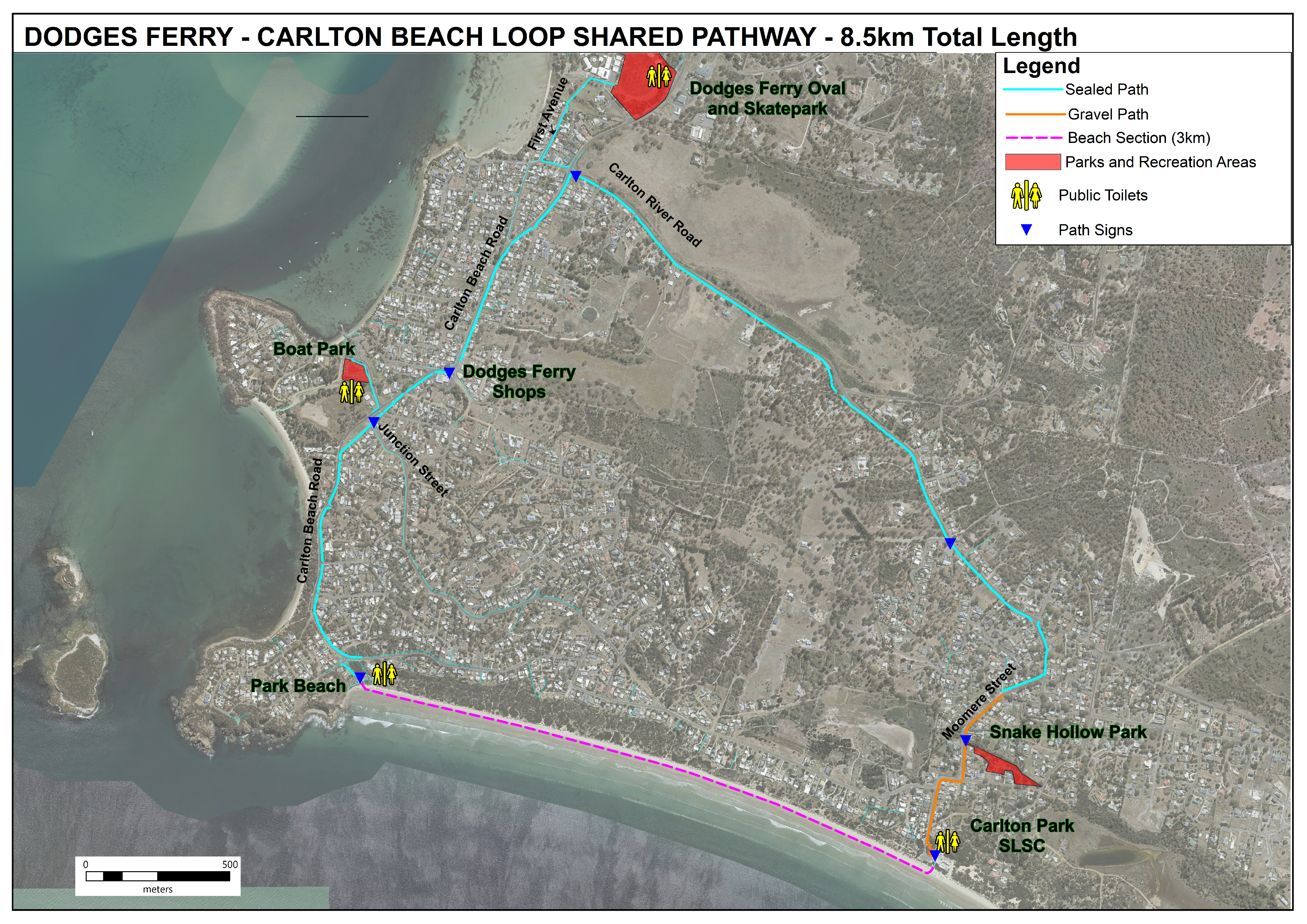
Dodges Ferry Carlton Loop
The Dodges Ferry – Carlton Loop will wind along Carlton River Road, down Carlton Beach Road, onto Park and Carlton Beach and then up Moomere Street to link two rapidly growing residential communities.
Approximately 7 km in length, the shared pathway represents much needed infrastructure to connect local communities, recreation assets, coastal reserves and community services, as well as to improve recreation opportunities and facilitate social interaction.
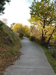
Dunalley Canal Walkway
A concrete and gravel pathway which meanders along the Dunalley Canal from the bridge through to the Tasman Monument. There is seating and signage along the walkway.
Lewisham Foreshore Walkway
A 110 metre long gravel track from Richards Avenue down to the footbridge crossing China Creek.
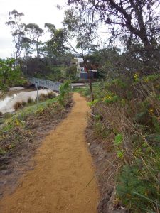
Old Forcett Road Walkway
A gravel walkway approximately 2.7 kilometres long has been constructed along Old Forcett Road from Rantons Road through to Quarry Road.
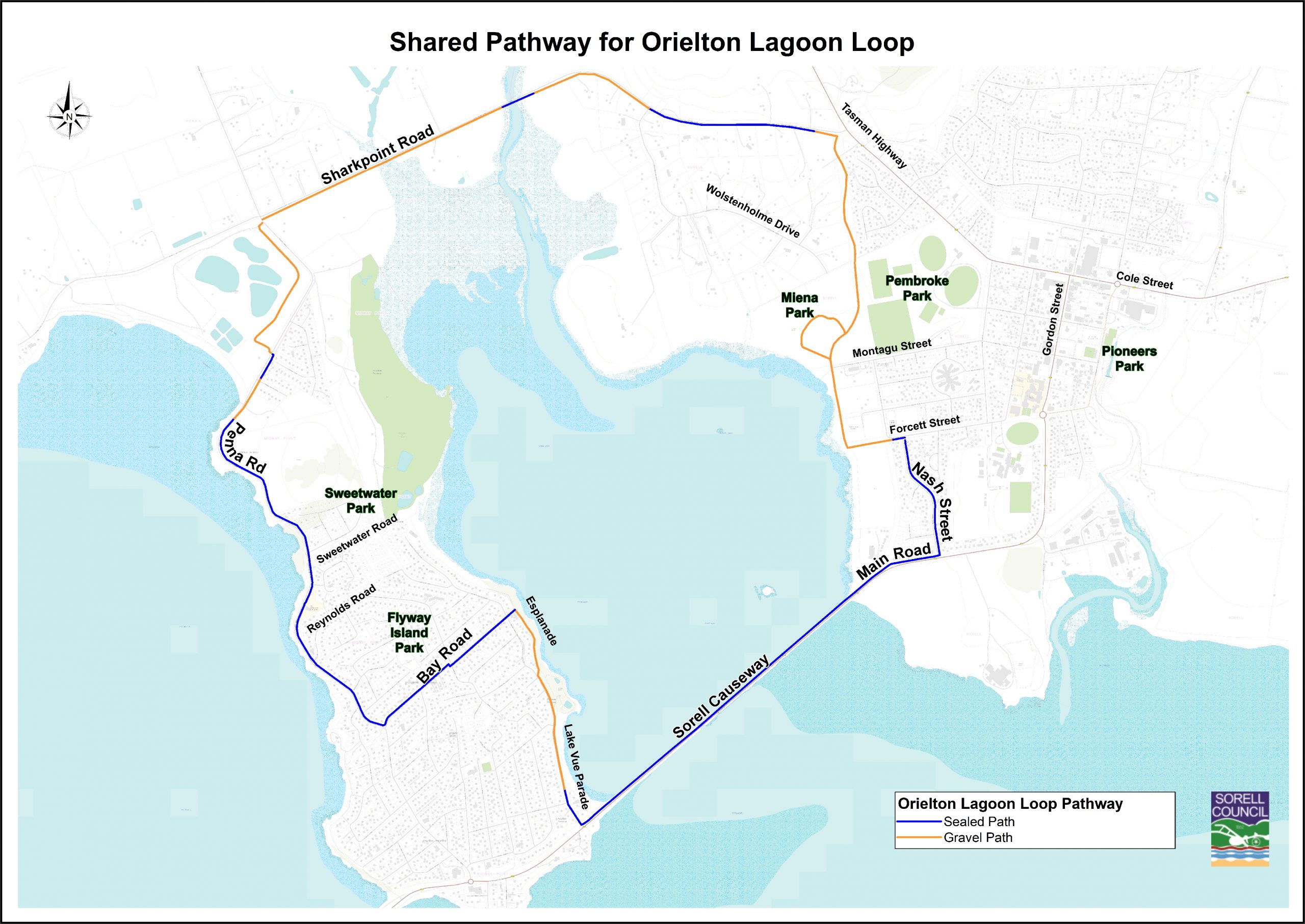
Orielton Lagoon Loop
A scenic shared pathway around the Orielton Lagoon through Sorell and Midway Point. A combination of concrete and gravel pathways, its suitable for a variety of users – prams, BMX bike riding, scooters, walking, running etc.
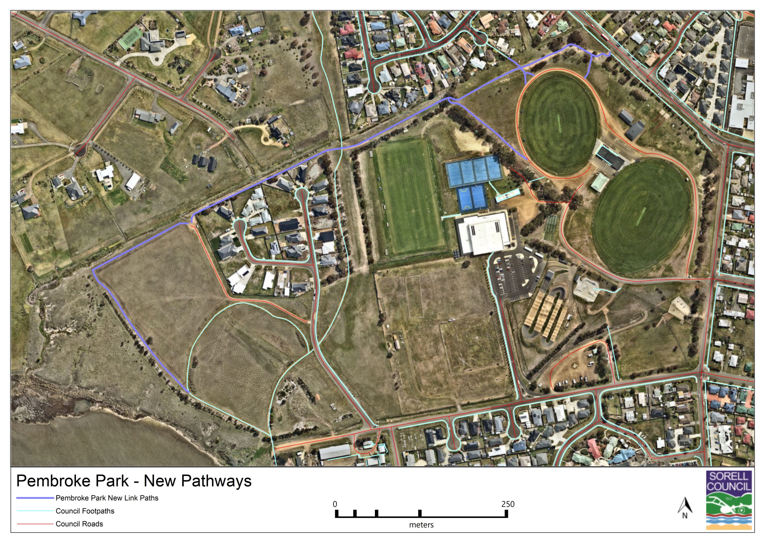
South East Sports Complex Pathways
There are a multitude of pathways through the South East Sports Complex. Pembroke Parkrun utilises some of these for their free, fun, and friendly weekly 5k community event.
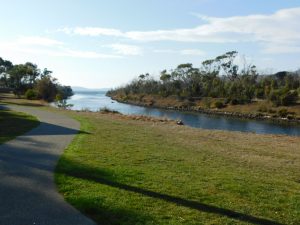
Waterway Trail
A 2.5 metre wide trail that meanders along the Sorell Rivulet from Pioneers Park through to Stores Lane. Storyboards outlining historical and environmental areas of significance are placed along the trail.